No Phone Signal on the Trail: What to Do Before You Lose It
Halfway down a Sapa valley your phone drops to no service. Here is what to do before you leave town, so losing signal never means losing your way.

You check your phone halfway down the valley and the bars are gone. No service. The map stops loading, your messages will not send, and the next village is still an hour away. Losing signal on a Sapa trail is normal, and only a problem if you did nothing about it before you left town.
Where the signal goes
In Sapa town the signal is fine. Out on the valley paths it comes and goes: ridges, deep side valleys, and thick tree cover each block the towers in town. Full bars on a ridge can turn to nothing ten minutes later on the valley floor. The villages usually have some signal, but the paths between them are the dead zones. Do not count on your phone as a live map or a way to call for help between villages.
Do the work in town
Everything that saves you later takes five minutes in town, while you still have signal.
Download the offline map of the Sapa area in Google Maps or Maps.me, and test it in airplane mode before you leave. A downloaded map works with GPS alone, because GPS comes from satellites, not from phone towers. Without the download, the blue dot moves but the map around it stays blank.
Drop a pin on your homestay and the village you are walking to, and save your guide's and host's numbers. Tell your guide or host which villages you plan to walk between and when you expect to arrive. If you do not arrive, someone in the valley knows where to start looking.
Charge fully and carry a power bank. A phone hunting for signal drains its battery fast, so switch to airplane mode once the bars are gone and switch it back on only to try for signal again. Photograph your route on the offline map, and any paper route your guide drew.
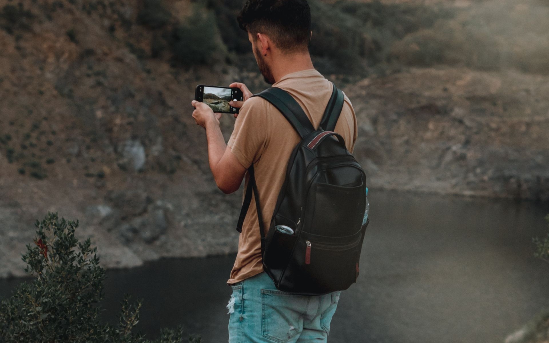
Source: Daniel Guti via Pexels. No location stated on the source page.
When the bars disappear
First, stop checking. Retrying messages only burns battery. Switch to airplane mode, open your downloaded map, and check the blue dot. GPS still works with no bars, as long as the map is downloaded and the phone sees sky. Under thick trees or in a deep gorge the dot may drift, so step into the open.
Walk to the next high point before deciding you are lost: signal often returns on a ridge or an open slope. If the dot puts you on the right path, keep walking. If the map is blank because you never downloaded it, stop and retrace your steps to the last place you were certain about.
If you need help and have no signal
Walk toward the nearest house, not deeper into the valley: a house means signal, WiFi, or a person who knows the paths. Show the village name on your phone or say it out loud. In a real emergency, climb to the highest open ground nearby and try again. If you walk with a guide, this is their problem to solve: they know which ridge catches signal.
Losing signal is part of a Sapa trek. Do the five minutes of preparation in town, and the dead zones become quiet stretches of the walk.
The classic Y Linh Ho, Lao Chai and Ta Van trek follows the valley's clearest paths, and the 2 day Ta Van homestay trek puts a local guide beside you for both days. Read the full Sapa trekking guide, then message the house on WhatsApp or Zalo.
Walk it with us
Every route in these guides ends at Cloud Valley. Sleep where the trail ends, not back in town.
Sapa Trekking Guide · 1 Day Valley Trek · 2 Day Homestay Trek
More guides
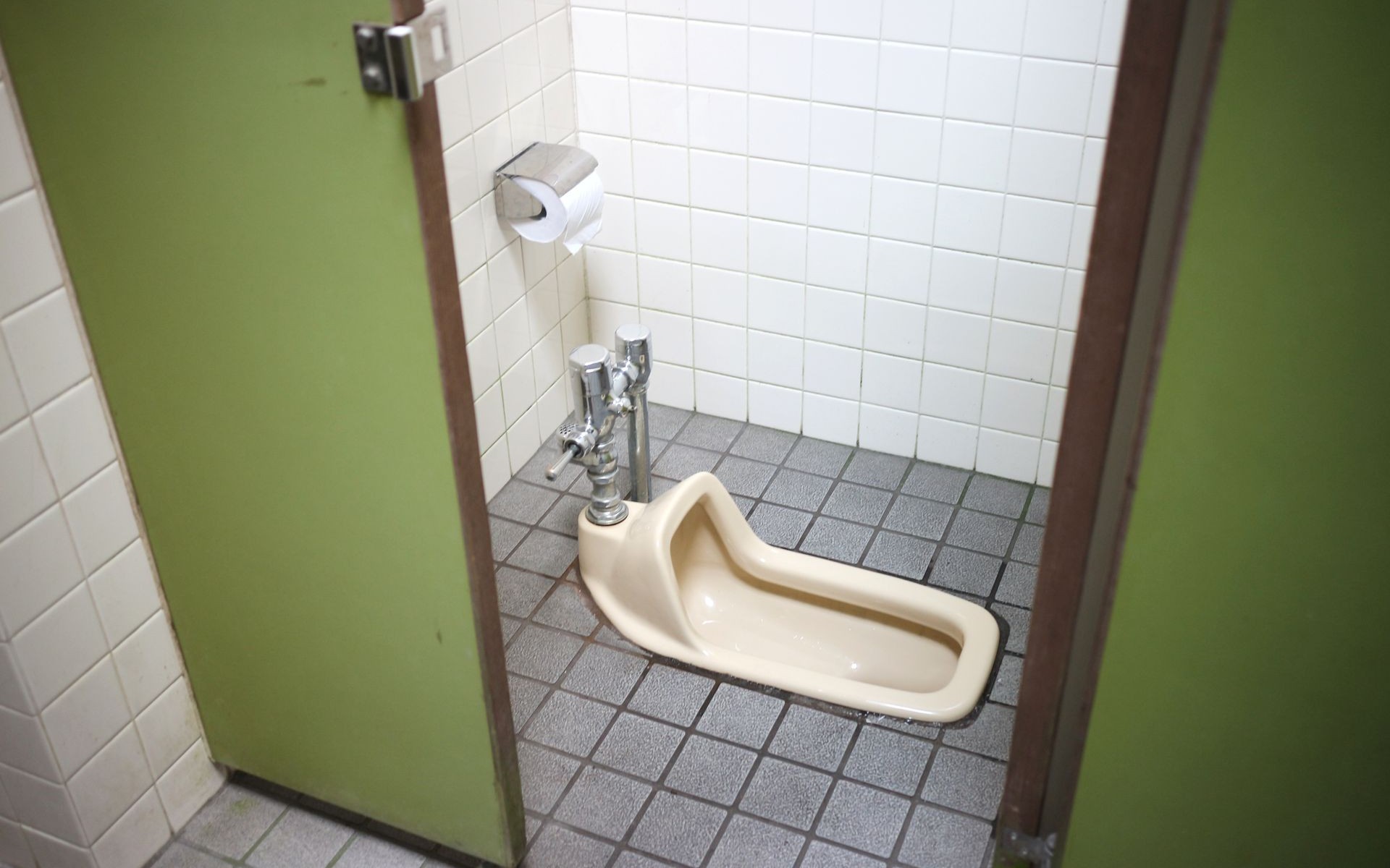
Squat Toilets and Shared Bathrooms: What Homestays Are Really Like
The toilet is the part of a Sapa homestay nobody photographs. Here is what the bathroom is actually like, and the three small things to pack so it never ruins your night.

Booking a Trek Online vs in Town: What Changes
You can book your Sapa trek from home weeks ahead, or walk into an office in Sapa town the day before. Both work. Here is what actually changes with each choice.

Your Luggage While You Trek: Storage Options That Actually Work
You cannot drag a rolling suitcase down muddy terrace steps. Here is where your big bag actually goes while you walk, and what to carry instead.