Trail Markers in Sapa: What Exists and What Does Not
Sapa has no blazed trail system like the ones in Europe or North America. Here is what signs actually exist on the paths, and how to find your way without them.

You reach a fork in the path between two villages and stop. Left drops down toward the terraces. Right climbs along a ridge. There is no sign, no painted blaze on a tree, no arrow telling you which way is Ta Van. If you learned to hike in Europe or North America, this is the first shock of trekking in Sapa: the valley has almost no trail markers at all.
What markers actually exist
A few signs do exist, and it helps to know where to expect them. At the main trailheads near Sapa town and at Cat Cat village you will find wooden signboards with village names and rough directions. The road to Fansipan has proper signposts, because it is a managed national park route. Some guesthouses and homestays have put up small hand-painted arrows on the paths near their own village. That is about it.
These signs are local and inconsistent. One village may mark its paths and the next none at all, and a sign that was there last year may be gone now, faded by rain. Treat every sign as a hint, not as a system you can rely on.
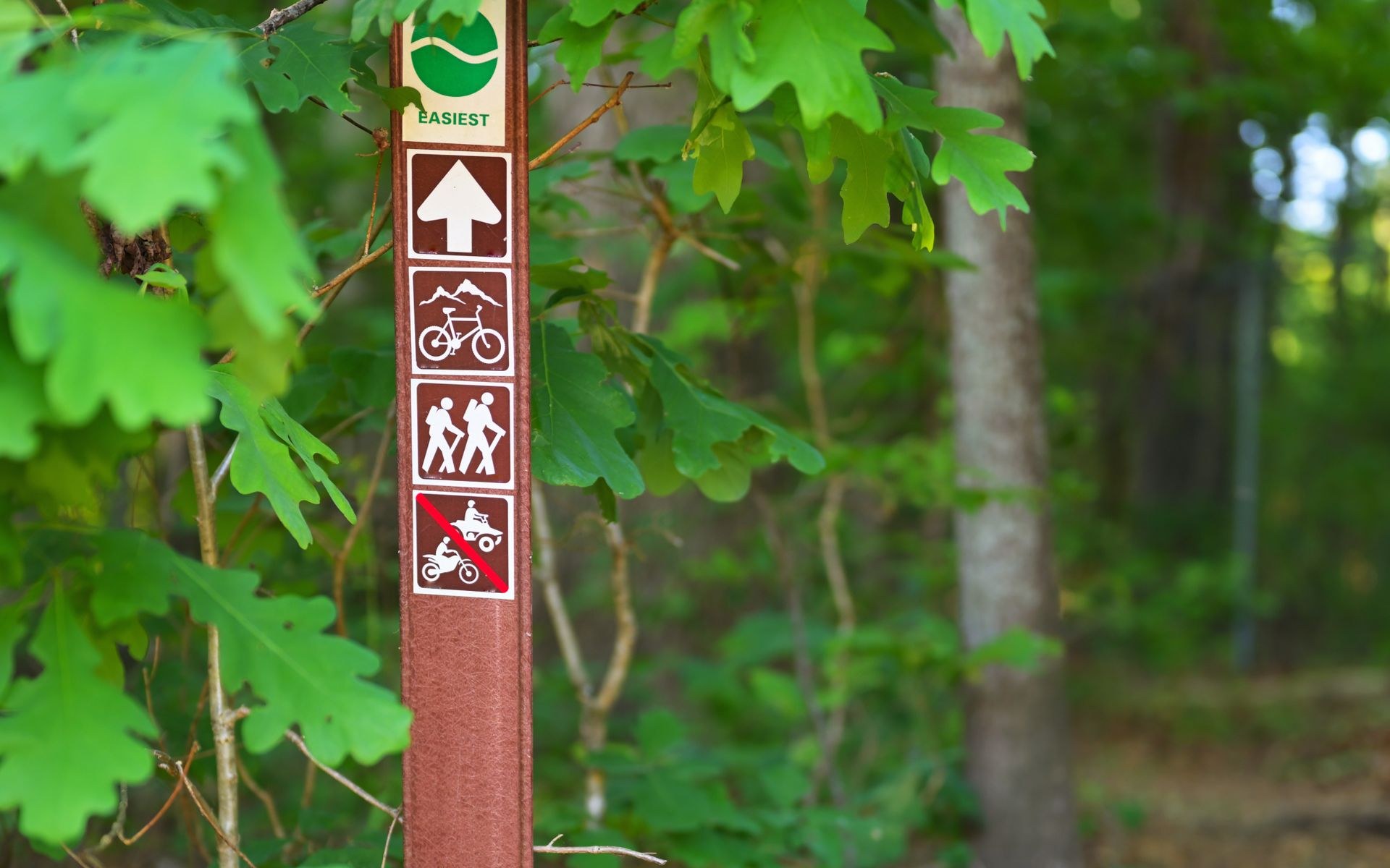
Source: William Finn via Pexels. A marked trail post in the United States, shown as an illustration of the kind of system Sapa does not have.
What does not exist
Sapa has no blaze system. There are no coloured paint marks on trees, no numbered posts, no distance signs between villages, and no trail map boards at every junction. The paths are working paths: farmers walk them to their fields, children walk them to school, buffalo walk them to water. They were never built as hiking trails, so nobody marked them as hiking trails.
That also means a path can split three ways with no indication of which branch leads to the next village and which ends at a field. A wide, muddy track can be a buffalo path to a stream, while the real village path is a narrow line along a terrace edge.

Source: Damien Dufour via Pexels. A painted trail blaze in France, the kind of mark Sapa trails do not carry.
How people actually find their way
Local guides navigate by landmarks, not signs: a big tree, a house with a blue roof, the bend where the stream crosses, the terrace wall that turns at a certain angle. Villagers give directions the same way, in landmarks and walking times, not in left and right. Ask someone on the path and they will point and say "that way, twenty minutes", and they are usually right.
Walk with that in mind. Before you leave town, download the offline map of the Sapa area and test it in airplane mode. On the trail, check the map at every junction before you choose. If you are walking without a guide, ask at every house you pass: a short question saves a long wrong turn.
If you are unsure at a fork
Stop. Do not guess and keep walking, because a wrong turn can add an hour of steep climbing to get back. Check the offline map and look for the village you are heading to. If a local is nearby, ask. If nobody is around and the map is unclear, walk back to the last place you were certain about and start again from there.
Sapa is not a place to navigate by signs, because the signs barely exist. Navigate by map, by landmarks, and by asking people, and the valley opens up.
The classic Y Linh Ho, Lao Chai and Ta Van trek follows the valley's clearest paths, and the 2 day Ta Van homestay trek puts a local guide beside you for both days. Read the full Sapa trekking guide, then message the house on WhatsApp or Zalo.
Walk it with us
Every route in these guides ends at Cloud Valley. Sleep where the trail ends, not back in town.
Sapa Trekking Guide · 1 Day Valley Trek · 2 Day Homestay Trek
More guides

Squat Toilets and Shared Bathrooms: What Homestays Are Really Like
The toilet is the part of a Sapa homestay nobody photographs. Here is what the bathroom is actually like, and the three small things to pack so it never ruins your night.

Booking a Trek Online vs in Town: What Changes
You can book your Sapa trek from home weeks ahead, or walk into an office in Sapa town the day before. Both work. Here is what actually changes with each choice.

Your Luggage While You Trek: Storage Options That Actually Work
You cannot drag a rolling suitcase down muddy terrace steps. Here is where your big bag actually goes while you walk, and what to carry instead.